What happens when the weather cancels your flight
Wind, rain and low cloud: how we decide the evening before, and what happens next (sample).
Flight days Monday to Saturday, weather permitting (sample)
Kestrel Aerial (sample) flies over homes, roofs, building sites and farmland around Springfield. Tell us what you need to see: we choose the height, handle the permissions and send the files within a week.
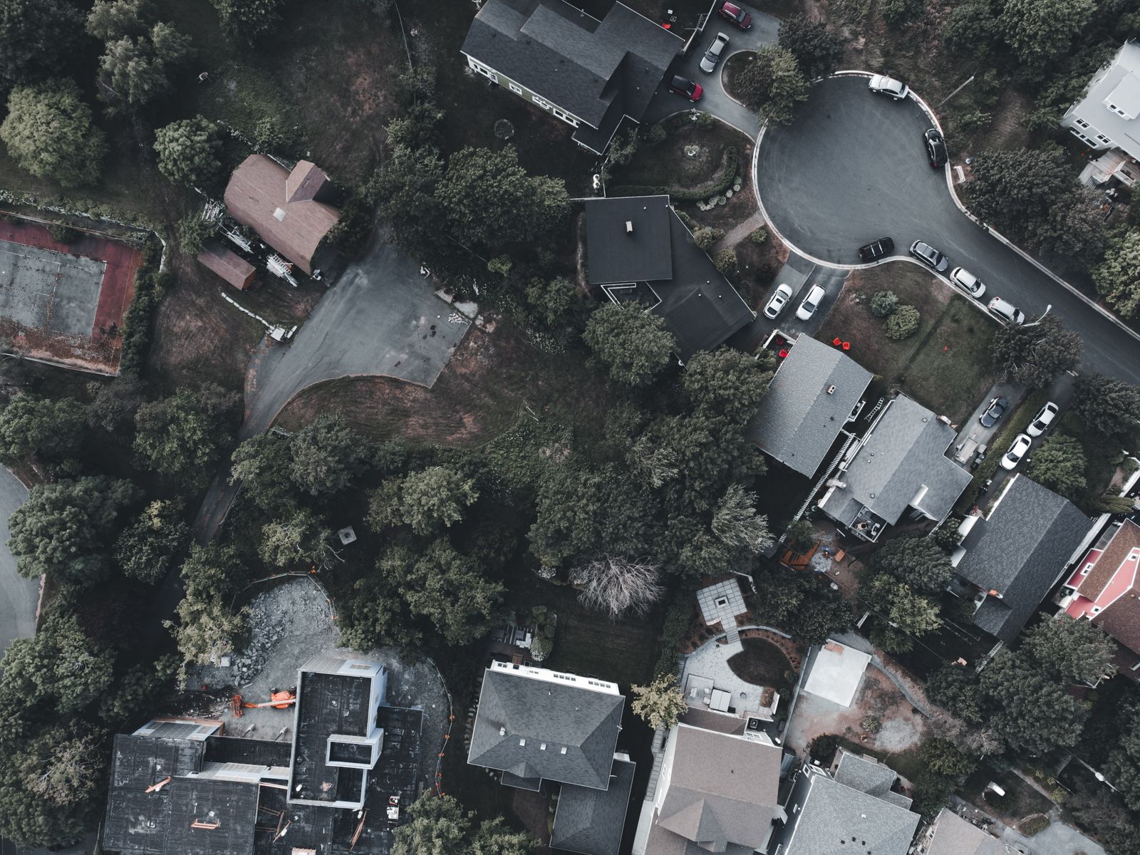
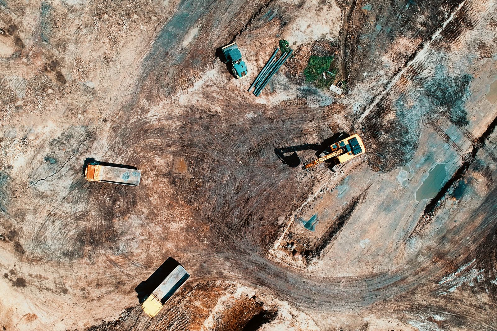
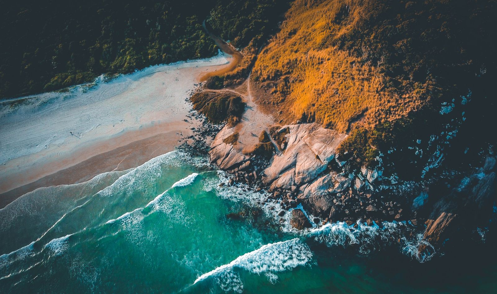
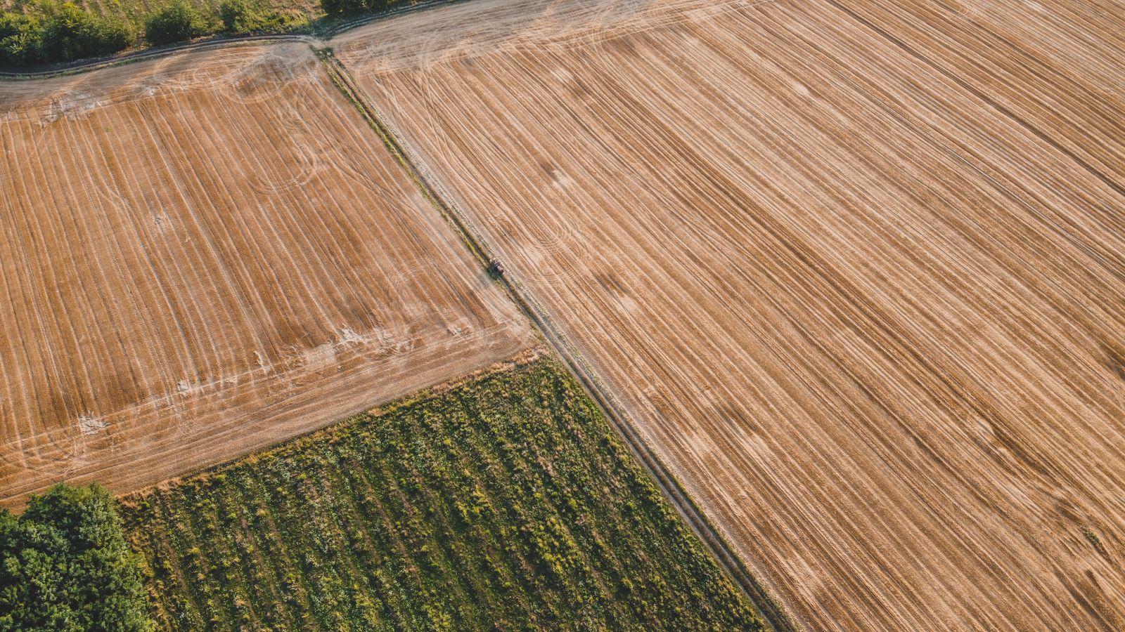
We never fly higher
2.7 cm/px
1.6 cm/px
1.2 cm/px
0.8 cm/px
0.4 cm/px
Typical flying height for each job, and the ground detail a 20-megapixel camera records there (sample).
Each job has its own flying height. Lower gives finer detail, higher covers more ground. Prices include the airspace check, the flight and edited files.
Measured maps, 3D models and stockpile volumes for land, farms and quarries.
Orthomosaic, point cloud, contours
Ready in 5 working days. Ground detail 2.7 cm per pixel.
from $480
The same flight path every month, so each visit lines up with the last one.
Stills, a site map and a 60-second film
Ready in 2 working days. Ground detail 1.6 cm per pixel.
$320 a visit
Opening shots, venue tours and the whole site at its best hour, flown away from the crowd.
Edited film, 2 to 3 minutes
Ready in 5 working days. Ground detail 1.2 cm per pixel.
from $650
The house, the garden and how close the station is, in one set of photos and a short film.
20 edited photos and a 60-second film
Ready in 3 working days. Ground detail 0.8 cm per pixel.
from $245
Slipped tiles, gutters, flashing and chimneys, close up and without ladders or scaffolding.
Marked-up photos and a short report
Ready in 1 working day. Ground detail 0.4 cm per pixel.
from $195
Example prices for sites within 25 miles of Springfield.
20 photos and a 60-second film for the sale listing, flown at 30 m (sample).
Monthly progress flights from the same five points, flown at 60 m (sample).
Two mornings of filming at low tide, flown under 45 m with a spotter (sample).
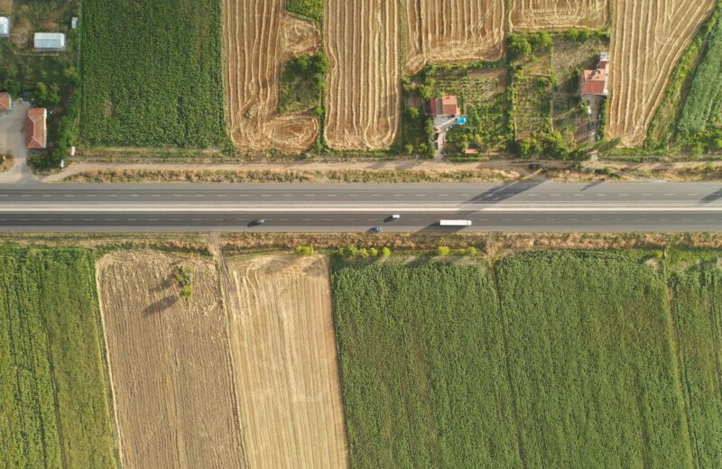
For a survey the drone flies a grid at up to 100 m and takes hundreds of overlapping photos. Software stitches them into one measured picture of the site.
One straight-down photo of the whole site, true to scale, to measure distances and areas.
GeoTIFF, PDF
The site in three dimensions, for planners, architects and volume checks.
LAS, OBJ
Ground levels every 0.5 m, ready for drawings and drainage plans.
DXF, DWG
How many cubic metres of soil, gravel or grain are on site today.
PDF report
Accuracy depends on ground control points; we tell you the expected accuracy before we fly.
Most jobs take a week from the first message to the files, and the flight itself is usually under two hours on site.
Send the address, what you need to see and your deadline.
We check for airports and restricted zones, ask the landowner and send a fixed price.
A pilot and an observer arrive, walk the site, brief anyone nearby and fly.
Film is cut and graded; survey photos are processed into maps and models.
A download link with every file, kept online for 90 days.
Most people never see the paperwork behind a drone flight. Here is what happens before we take off on your site.
Pilot licences
Remote pilot certificates for all pilots (sample)
Every flight
Liability insurance
Public liability for every job (sample)
$5m
Airspace permission
Requested from air traffic control when the site needs it
Included
Wind limit
Above that, or in rain, we move the flight at no charge
38 km/h
Privacy
Neighbours are told, and footage of people is cut
Before we fly
Roof or chimney inspection
Marked-up photos and a short report
$195
Property photos
20 edited photos, house and garden
$245
Property photos and film
Photos plus a 60-second edited film
$450
Event or venue film, half day
Edited film, 2 to 3 minutes
$650
Construction progress
Monthly flights from the same points
$320 a visit
Land survey, up to 10 ha
Orthomosaic and contours
$480
Example prices. Larger sites and commercial filming are quoted per job.
Not quite. Near airports, prisons and some city centres we need permission first, and a few places are closed to drones. We check your address before we quote and tell you what is possible.
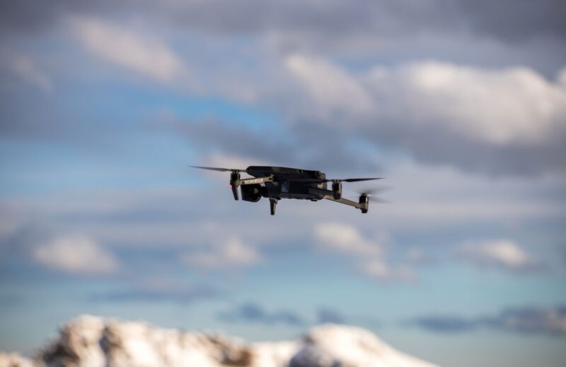
We check the forecast the evening before. Wind above 38 km/h, rain or low cloud means we move the flight to the next good day, at no charge.
We tell neighbours before flights over homes, keep the camera on your site and cut any footage where people can be recognised.
Photos as full-size JPGs, films as MP4 in 4K and a web size, survey data in the formats your software reads. Everything comes through one download link.
Only if we need access to the land or a building. Many property and survey flights happen while you are at work.
Yes. Every price includes the right to use the files for your business, including adverts and listings.

Wind, rain and low cloud: how we decide the evening before, and what happens next (sample).

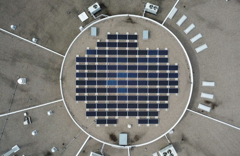
Cracked glass, dirt and loose fixings show up from 15 m. Some faults need a thermal camera (sample).

Three survey files, three different jobs. A short guide before you order a survey (sample).
Send the address and what the photos, film or survey are for. A pilot checks the airspace and replies with a fixed price, usually within one working day (sample).
Demo photos from Pexels by Erik Mclean, Tom Fisk, Adrian Frentescu, Kyle Loftus, Pok Rie, Czapp Árpád, Zeca Souza, Alan Kabeš, Giant Asparagus, Fatih Turan. The theme download contains placeholder pictures, not these photos.