Orthomosaic, point cloud or contours: which survey file do you need?
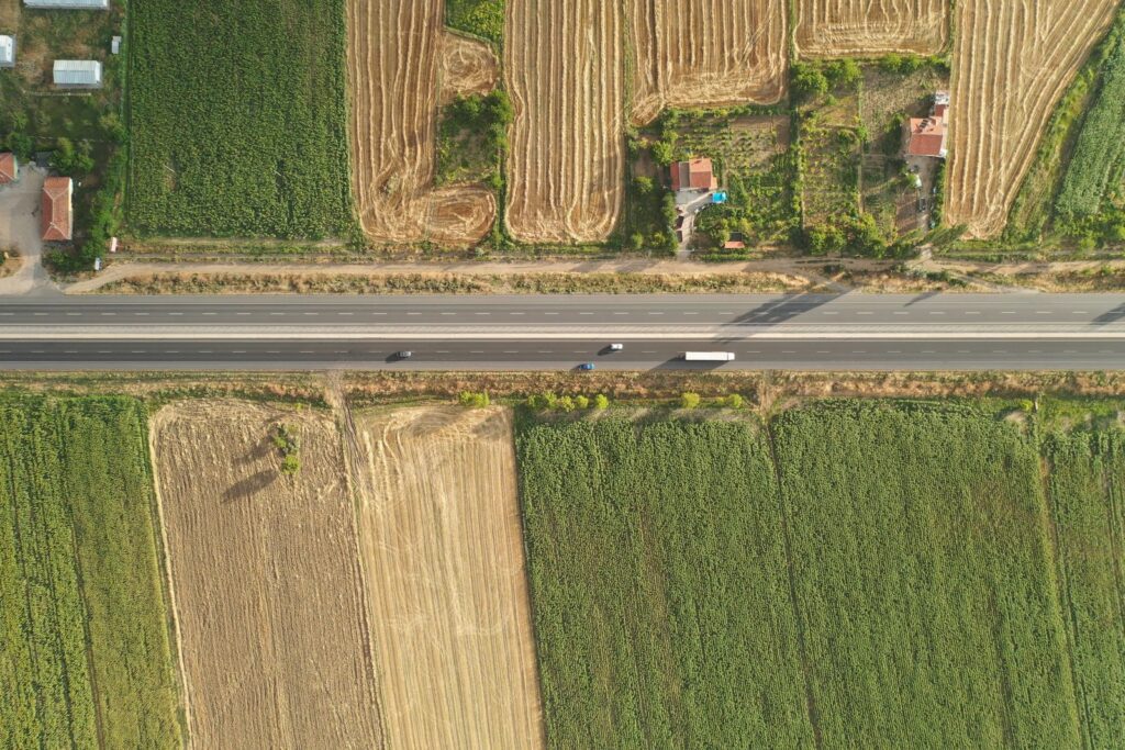
An orthomosaic is one straight-down photo of the whole site, true to scale. It is the file most people need: measure a boundary, plan a fence, show a client the site.
A point cloud and 3D model describe the shape of the ground and buildings. Architects and engineers use them, and so do quarries that need stockpile volumes.
Contours turn the ground levels into lines on a drawing. Ask for them if you are planning drainage, a driveway or a building on a slope.