Surveys and mapping
Measured maps, 3D models and stockpile volumes for land, farms, quarries and building sites.
Surveys and maps you can measure
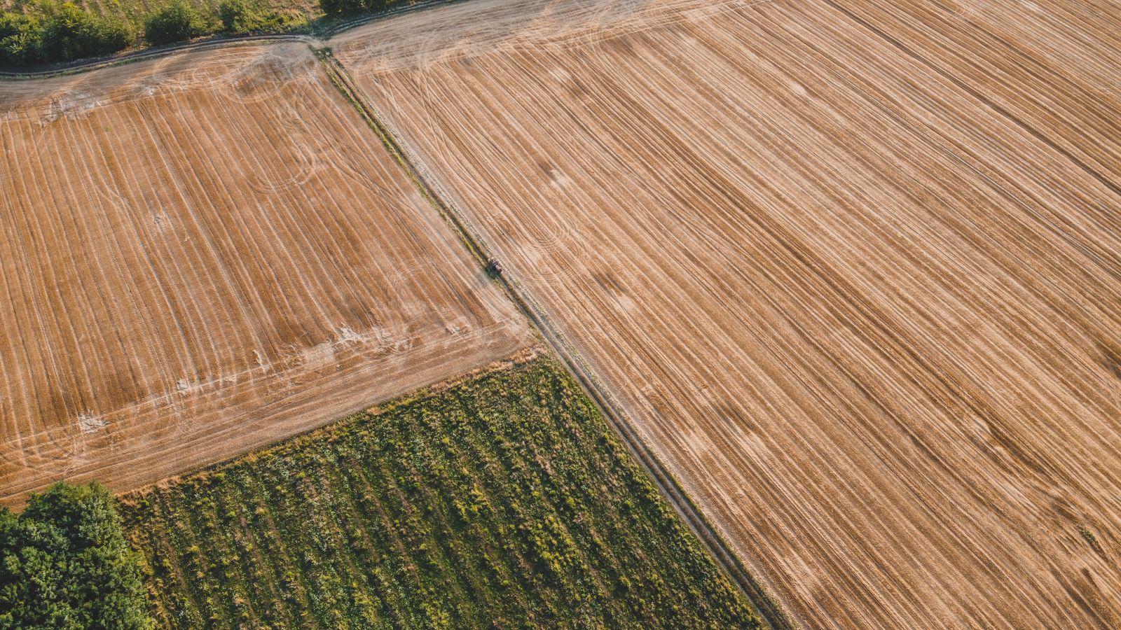
For a survey the drone flies a grid at up to 100 m and takes hundreds of overlapping photos. Software stitches them into one measured picture of the site.
Orthomosaic
One straight-down photo of the whole site, true to scale, to measure distances and areas.
GeoTIFF, PDF
3D model and point cloud
The site in three dimensions, for planners, architects and volume checks.
LAS, OBJ
Contours and levels
Ground levels every 0.5 m, ready for drawings and drainage plans.
DXF, DWG
Stockpile volumes
How many cubic metres of soil, gravel or grain are on site today.
PDF report
Accuracy depends on ground control points; we tell you the expected accuracy before we fly.
Construction progress flights
Once a month, or at each stage of the build, we fly the same route from the same five points at 60 m. Every set of photos lines up with the last, so clients and funders see exactly what changed.
- Stills from five fixed points
- A site map you can measure
- A 60-second film for client updates
Monthly visit
$320
Six visits booked together
$1,740
Site map add-on
$120 a visit
Tell us what you need to see from above
Send the address and what the photos, film or survey are for. A pilot checks the airspace and replies with a fixed price, usually within one working day (sample).