Drone services by flying height
Five kinds of job, each flown at its own height. Find yours, see what you get and how long it takes.
From the highest to the lowest
Read down the list as you would read the altitude tape: the higher the flight, the more ground in one picture.
Land surveys and mapping
Measured maps, 3D models and stockpile volumes for land, farms and quarries.
- Orthomosaic and 3D model
- Ground control points for survey accuracy
- Sites from 1 to 200 hectares
You get
Orthomosaic, point cloud, contours
Ready in
5 working days
Ground detail
2.7 cm per pixel
Price
from $480
Construction progress
The same flight path every month, so each visit lines up with the last one.
- Same flight path every visit
- Before-and-after views for clients and funders
- Monthly or at each stage of the build
You get
Stills, a site map and a 60-second film
Ready in
2 working days
Ground detail
1.6 cm per pixel
Price
$320 a visit
Events and venue filming
Opening shots, venue tours and the whole site at its best hour, flown away from the crowd.
- Flown away from crowds and stages
- Cut to your music or without sound
- Weddings, festivals, shows and venues
You get
Edited film, 2 to 3 minutes
Ready in
5 working days
Ground detail
1.2 cm per pixel
Price
from $650
Property photos and video
The house, the garden and how close the station is, in one set of photos and a short film.
- House, garden and the street around it
- Twilight flights on request
- Ready for listings and social media
You get
20 edited photos and a 60-second film
Ready in
3 working days
Ground detail
0.8 cm per pixel
Price
from $245
Roof and chimney inspections
Slipped tiles, gutters, flashing and chimneys, close up and without ladders or scaffolding.
- Tiles, flashing, gutters and chimneys
- Solar panels and flat roofs
- No ladders, scaffolding or roof access
You get
Marked-up photos and a short report
Ready in
1 working day
Ground detail
0.4 cm per pixel
Price
from $195
Example prices. Ground detail for a 20-megapixel camera (sample).
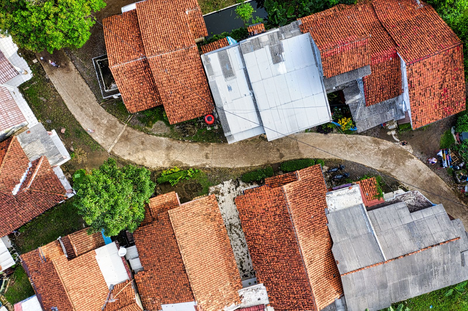
Roof inspections without ladders
At 15 m a drone camera sees a cracked tile from the street. You get every roof slope in close-up, with problems marked on the photos, the same day or the next.
- Insurance and pre-purchase checks
- Storm damage after high winds
- Gutters, valleys and chimney stacks
Questions before you book
Can you fly anywhere?
Not quite. Near airports, prisons and some city centres we need permission first, and a few places are closed to drones. We check your address before we quote and tell you what is possible.
What if the weather is bad?
We check the forecast the evening before. Wind above 38 km/h, rain or low cloud means we move the flight to the next good day, at no charge.
Will you film my neighbours?
We tell neighbours before flights over homes, keep the camera on your site and cut any footage where people can be recognised.
What files do I get?
Photos as full-size JPGs, films as MP4 in 4K and a web size, survey data in the formats your software reads. Everything comes through one download link.
Do I need to be there on the day?
Only if we need access to the land or a building. Many property and survey flights happen while you are at work.
Can I use the footage in adverts?
Yes. Every price includes the right to use the files for your business, including adverts and listings.
Tell us what you need to see from above
Send the address and what the photos, film or survey are for. A pilot checks the airspace and replies with a fixed price, usually within one working day (sample).